Compact Midwave Imaging System: Results from an Airborne Demonstration
M. A. Kelly, J. L. Carr, D. L. Wu, A. C. Goldberg, I. Papusha, R. T. Meinhold
- Journal Article (Remote Sensing)
- Preprint
Abstract
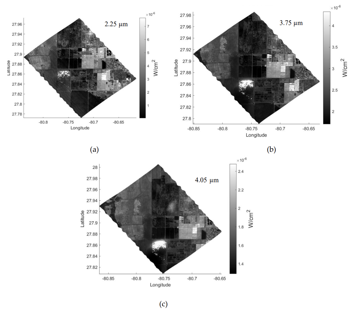
The Compact Midwave Imaging System (CMIS) is a wide field of view, multi-angle, multi-spectral pushframe imager that relies on the forward motion of the satellite to create a two-dimensional (2D) image swath. An airborne demonstration of CMIS was successfully completed in January–February 2021 on the NASA Langley Research Center Gulfstream III. The primary objective of the four-flight campaign was to demonstrate the capability of this unique instrument to perform stereo observations of clouds and other particulates (e.g. smoke) in the atmosphere. It is shown that the midwave infrared (MWIR) spectral bands of CMIS provide a unique 24/7 capability with high resolution for accurate stereo sensing. The instrument relies on new focal plane array (FPA) technology, which provides excellent sensitivity at much warmer detector temperatures than traditional technologies. This capability enabled a compact, low-cost design that can provide atmospheric motion vectors and cloud heights to support requirements for atmospheric winds in the 2017–2027 Earth Science Decadal Survey.
Applications include day/night observations of the planetary boundary layer, severe weather, and wildfires. A comparison with current space-based earth science instruments demonstrates that the SWIR/MWIR multi-spectral capability of CMIS is competitive with larger, more expensive instrumentation. Imagery obtained over a controlled burn and operating nuclear power plant demonstrated the sensitivity of the instrument to temperature variations. The system relies on a mature stereoscopic imaging technique applied to the same scene from two independent platforms to unambiguously retrieve atmospheric motion vectors (AMVs) with accurate height assignment. This capability has been successfully applied to geostationary and low-earth orbit satellites to achieve excellent accuracy. When applied to a ground-point validation case, the accuracy for the CMIS aircraft observations was 20 m and 0.3 m/s for cloud heights and motion vectors, respectively. This result was confirmed by a detailed error analysis with analytical and covariance models. The results for CMIS cases with underflights of Aeolus, CALIPSO and Aqua provided a good validation of expected accuracies. The paper also showed the feasibility of accommodating CMIS on CubeSats to enable multiple instruments to be flown in a leader-follower mode.
Citation
M. A. Kelly, J. L. Carr, D. L. Wu, A. C. Goldberg, I. Papusha, and R. T. Meinhold. “Compact Midwave Imaging System: Results from an Airborne Demonstration,” Remote Sensing, 14(4):834, 2022. DOI: 10.3390/rs14040834